Geo Spatial Solution project
Geo Spatial Solution project is basically a automated system to make complex process of government services simple. Local bodies are classified into Municipal Corporations, Municipalities of different grades depending upon the population and income of the Urban Local Body. These Urban Local Bodies have been constituted with the objective of discharging certain
Geo Spatial Solution project Existing System
Our Geo Spatial Solution existing system is a basic manual system used for this purpose. In this Geo Spatial Solution project System user have to store the information in the form of excel sheets or text files on Disk Drives. Hence no data sharing is possible using such system. This manual system gives us very less security for storing data and our data is more vulnerable which can also leads to data lost due to is management. Also Searching of even simple information is complex process and less efficient.
In current system information gathering of organization from different sources across the world is very complex job and their are lot of chances the error can occur during the process. Also combining all data to generate bills can take many days and lead to many inconsistencies in calculations. Now days in current system user get the bills details through manually methods by visiting, in various authorities like water,electricity board, property tax department.
Geo Spatial Solution project Proposed System
In this new system the following functionality try to automate the whole process by maintaining the database integrity and security. This system is user friendly is provided in the application with various controls provided by system Rich User Interface. The system makes the overall project management much simpler and as well as flexible. It can be accessed over the Intranet as well as on internet from any location. Our system will keep employee related data at centralized database which can be maintained by the system and can be accessed from any where. This approach will give us the more security for user data because data is stored at centralized location and client user have control on it. Authentication is provided for this application only registered Users can access. There is no risk of data management at any level while the project development is under process. The automated system will provide to the employees for reliable services. The proposed system using web services, a web service can get the information from other sources also.
Modules in Geo Spatial Solution project
- Authentication
- Citizen’s
- Administrator
- Search
- Citizen’s Bill Information
- Reports
- Web Services
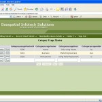
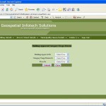
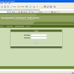
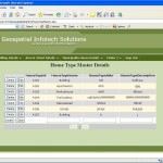
Geo Spatial Solution project Snapshots
Download Geo Spatial Solution project
| Geo Spatial Solution project Abstract | Geo Spatial Solution project Abstract |
| Geo Spatial Solution project Report | Geo Spatial Solution project Report |
| Project Presentation Download | Project Presentation Download |
| Project Code Download | Project Code Download |



Leave a Reply